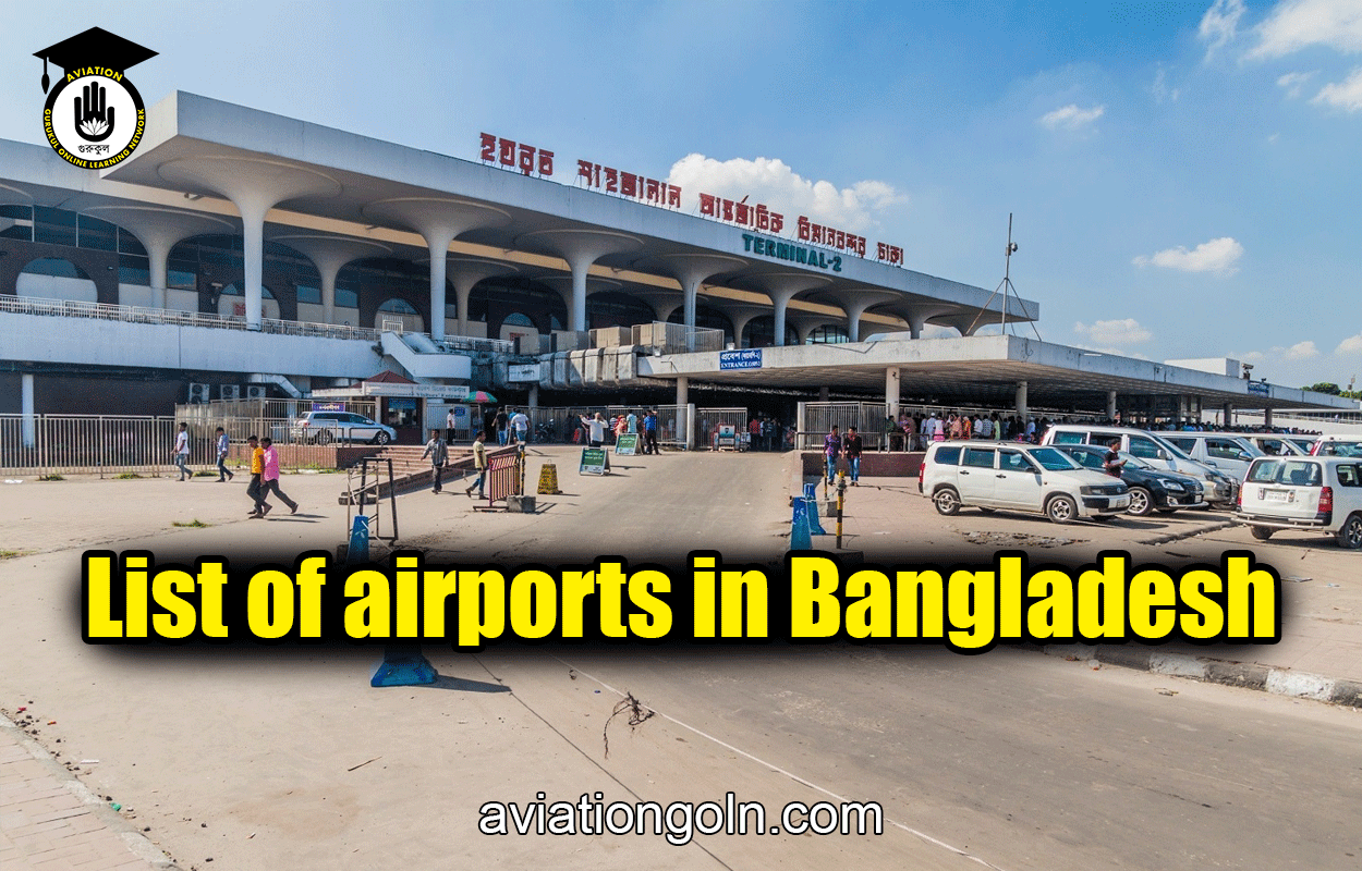
This is a list of airports in Bangladesh, grouped by type and sorted by location. All airports are operated and maintained by the Civil Aviation Authority of Bangladesh under the Ministry of Civil Aviation and Tourism. Few of the airfield used for military and training purposes by the Bangladesh Armed Forces.
Bangladesh has 5 domestic airports, 3 international airports (which are also used for domestic flights) and 4 STOL (Short Take-off and Landing) ports, with one new domestic airport under construction. It also has several airstrips, some built during World War II.
List of airports in Bangladesh
List of airports:
All airports are listed by division. No airports are available in the Mymensingh Division.
Barisal Division:
Barisal Division is one of the eight administrative divisions of Bangladesh. Located in the south-central part of the country, it has an area of 13,644.85 km2 (5,268.31 sq mi), and a population of 9,100,102 at the 2011 Census. It is the least populous Division within the entirety of Bangladesh. It is bounded by Dhaka Division on the north, the Bay of Bengal on the south, Chittagong Division on the east and Khulna Division on the west. The administrative capital, Barisal city, lies in the Padma River delta on an offshoot of the Arial Khan River. Barisal division is criss-crossed by numerous rivers that earned it the nickname Dhan-Nodi-Khal, Ei tin-e Borishal (rice, river and canal built Barisal).
| Location served | Airport name | ICAO | IATA | Category | Role | Coordinates |
|---|---|---|---|---|---|---|
| Barisal | Barisal Airport | VGBR | BZL | Domestic | Commercial | 22°48′04″N 90°18′04″E |
| Patuakhali | Patuakhali Airport | — | — | Unused | Closed | 22°22′33″N 90°19′20″E |

Chittagong Division:
Chittagong Division, officially known as Chattogram Division, is geographically the largest of the eight administrative divisions of Bangladesh. It covers the south-easternmost areas of the country, with a total area of 34,529.97 km2 (13,332.10 sq mi) and a population at the 2022 census of 33,202,326. The administrative division includes mainland Chittagong District, neighbouring districts and the Chittagong Hill Tracts.
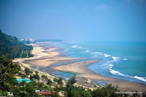
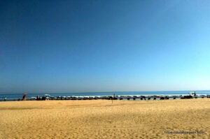
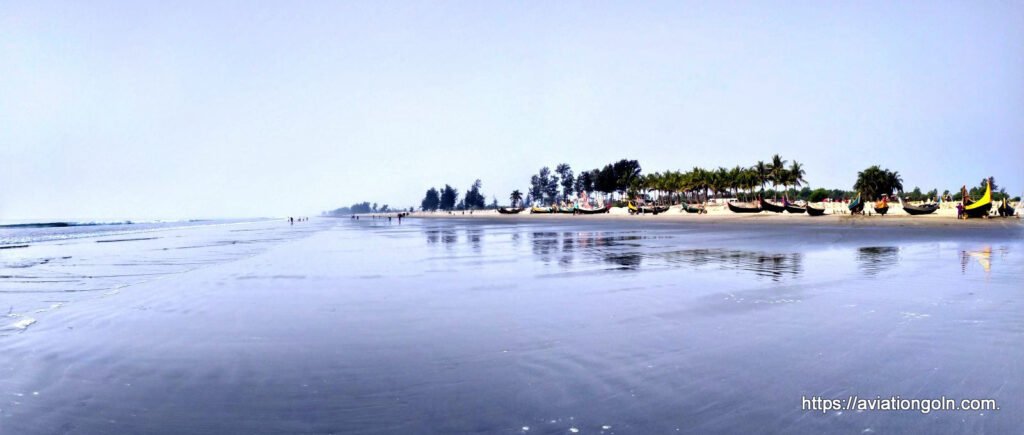
Chittagong Division is home to Cox’s Bazar, the longest natural sea beach in the world; as well as St. Martin’s Island, Bangladesh’s sole coral reef.
| Location served | Airport name | ICAO | IATA | Category | Role | Coordinates |
|---|---|---|---|---|---|---|
| Chittagong | Shah Amanat International Airport | VGEG | CGP | International | Commercial | 22°14′59″N 91°48′48″E |
| Chittagong | Zahurul Haq Airbase | — | — | Military | Active | 22°15′39″N 91°49′05″E |
| Comilla | Comilla Airport | VGCM | CLA | STOLport | No scheduled flights | 23°26′12″N 91°11′24″E |
| Cox’s Bazar | Cox’s Bazar International Airport | VGCB | CXB | International | Commercial | 21°27′07″N 91°57′50″E |
| Noakhali | Noakhali Air Field | — | — | Future | Abandoned | 22°44′21″N 91°03′54″E |
| Dohazari | Dohazari Airfield | — | — | Military | Closed | 22°09′55″N 92°04′07″E |
| Chakaria | Chakaria Airport | — | — | 21°45′49″N 92°04′18″E | ||
| Feni | Fenny Airfield | — | — | 23°02′06″N 91°23′37″E | ||
| Hathazari | Hathazari Airfield | — | — | 22°30′02″N 91°48′27″E |
Dhaka Division:
Dhaka Division is an administrative division within Bangladesh. Dhaka serves as the capital city of the Dhaka Division, the Dhaka District and Bangladesh. The division remains a population magnet, covers an area of 20,508.8 km2 with a population in excess of 44 million, growing at 1.94% rate since prior count, compared with national average of 1.22%. However, national figures may include data skewing expatriation of male labor force as gender ratio is skewed towards females.
| Location served | Airport name | ICAO | IATA | Category | Role | Coordinates |
|---|---|---|---|---|---|---|
| Dhaka | Hazrat Shahjalal International Airport | VGHS | DAC | International | Commercial | 23°50′34″N 90°24′02″E |
| Tejgaon | Khademul Bashar Airbase | VGTJ | — | Military | Airbase | 23°46′43″N 90°22′57″E |
| Bajitpur | Bajitpur Airport | — | — | Military | Active | 24°12′44″N 90°54′23″E |
| Tangail | Tangail Airport | — | — | 24°13′47″N 89°54′28″E |
Dhaka Division borders every other division in the country except Rangpur Division. It is bounded by Mymensingh Division to the north, Barisal Division to the south, Chittagong Division to the east and south-east, Sylhet Division to the north-east, and Rajshahi Division to the west and Khulna Divisions to the south-west.
Khulna Division:
The Khulna Division is the second largest of the eight divisions of Bangladesh. It has an area of 22,285 km2 (8,604 sq mi) and a population of 17,416,645 at the 2022 Bangladesh census (preliminary returns). Its headquarters and largest city is Khulna city in Khulna District.
| Location served | Airport name | ICAO | IATA | Category | Role | Coordinates |
|---|---|---|---|---|---|---|
| Khulna | Khan Jahan Ali Airport | — | — | Future | Under construction | 22°38′49″N 89°38′38″E |
| Jashore | Jashore Airport | VGJR | JSR | Domestic | Commercial | 23°11′01″N 89°09′39″E |
| Jashore | Matiur Rahman Airbase | — | — | Military | Airbase | 23°10′40″N 89°09′40″E |
Rajshahi Division:
Rajshahi Division is one of the eight first-level administrative divisions of Bangladesh. It has an area of 18,174.4 square kilometres (7,017.2 sq mi) and a population at the 2022 Census of 20,353,119. Rajshahi Division consists of 8 districts, 70 Upazilas (the next lower administrative tier) and 1,092 Unions (the lowest administrative tier).
The region has historically been dominated by various feudal Rajas, Maharajas and Zamindars. Formerly comprising 16 districts, a new division (Rangpur Division) was formed with the 8 northern districts of the old Rajshahi Division from early 2010.
| Location served | Airport name | ICAO | IATA | Category | Role | Coordinates |
|---|---|---|---|---|---|---|
| Ishwardi | Ishwardi Airport | VGIS | IRD | STOLport | No scheduled flights | 24°09′11″N 89°02′55″E |
| Rajshahi | Shah Makhdum Airport | VGRJ | RJH | Domestic | Commercial | 24°26′13″N 88°36′59″E |
| Bogra | Bogra Airport | VGBG | — | Military | Airbase | 24°52′00″N 89°18′59″E |
| Sirajganj | Sirajganj Airport | — | — | Unused | Closed | 25°16′59″N 91°42′50″E |
Rangpur Division:
Rangpur Division is one of the Divisions in Bangladesh. It was formed on 25 January 2010, as Bangladesh’s 7th division. Before that, it was under Rajshahi Division. The Rangpur division consists of eight districts. There are 58 Upazilas or subdistricts under these eight districts. Rangpur is the northernmost division of Bangladesh and has a population of 17,610,956 in the 2022 Census.
| Location served | Airport name | ICAO | IATA | Category | Role | Coordinates |
|---|---|---|---|---|---|---|
| Saidpur | Saidpur Airport | VGSD | SPD | Domestic | Commercial | 25°45′33″N 88°54′31″E |
| Lalmonirhat | Lalmonirhat Airport | VGLM | — | Military | No scheduled flights | 25°53′15″N 89°25′59″E |
| Thakurgaon | Thakurgaon Airport | VGSG | TKR | STOLport | No scheduled flights | 26°00′59″N 88°24′06″E |
Sylhet Division:
Sylhet Division is the northeastern division of Bangladesh. It is bordered by the Indian states of Meghalaya, Assam and Tripura to the north, east and south respectively, and by the Bangladeshi divisions of Chittagong to the southwest and Dhaka and Mymensingh to the west. Prior to 1947, it included the subdivision of Karimganj (presently in Barak Valley, India). However, Karimganj (including the thanas of Badarpur, Patharkandi and Ratabari) was inexplicably severed from Sylhet by the Radcliffe Boundary Commission. According to Niharranjan Ray, it was partly due to a plea from a delegation led by Abdul Matlib Mazumdar.
| Location served | Airport name | ICAO | IATA | Category | Role | Coordinates |
|---|---|---|---|---|---|---|
| Sylhet | Osmani International Airport | VGSY | ZYL | International | Commercial | 24°57′48″N 91°52′01″E |
| Kamalganj | Shamshernagar Airport | VGSH | ZHM | STOLport | No scheduled flights | 24°23′54″N 91°55′01″E |